Also for sale on USMBOOKS.com, additional original Third Reich maps
as well as Nazi era guidebooks published by Grieben.
We are happy to combine shipping to save you money!
for $45.00 delivered by 1st Class Mail in the USA. |
| • IF you prefer faster and safer Priority Mail shipping with USPS Tracking add $8.95. |
| • IF you wish to purchase highly recommended, but optional insurance, add $3.50. |
| • We will be happy to ship abroad at additional cost, however foreign customers are responsible for any VAT payments, import duties & customs clearing fees. Please inquire. |
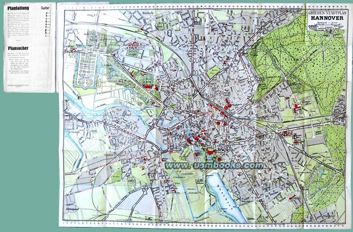
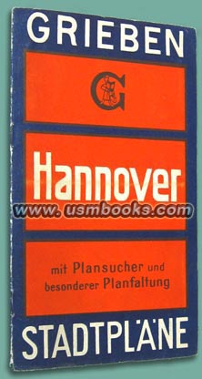
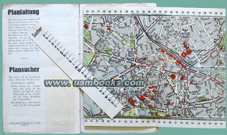
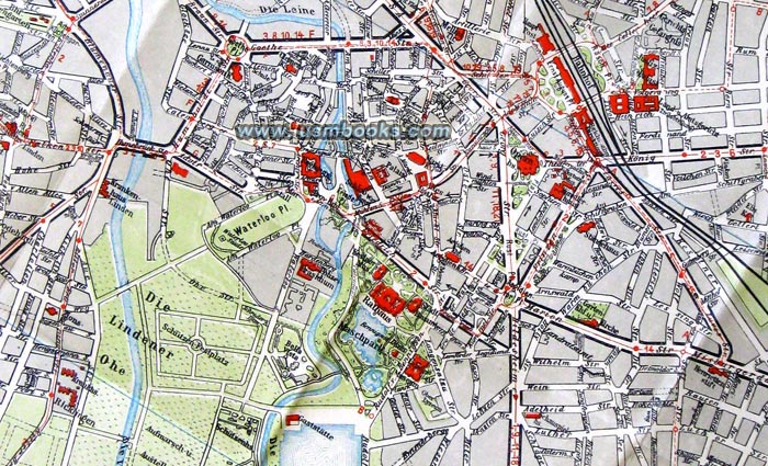
Grieben Verlag GmbH of Berlin was one of the best publishers of city and area maps in Nazi Germany. Their maps most often came in a standard blue and orange 4-3/8 x 7-1/4 inch pocket-size folder which contained a booklet of around 16 pages, a fold-out full-color map and a paper ruler for finding what you were looking for on the map. The booklet portion contained information about traffic, airport, Reichsautobahn, street cars, busses, post offices, Nazi Party Offices, hospitals, churches, cemeteries, theaters and other important buildings. The main fold-out map is always very detailed and very specific.


This is an excellent 18 x 23 inch fold-out map covering the entire area of the city of Hannover before it was destroyed by British bombing during World War II. Very nice used condition.
NAZI GRIEBEN MAP OF THE CITY OF HANNOVER
ONE OF THE BEST THIRD REICH MAPS OF THE NORTH GERMAN CITY OF HANNOVER

