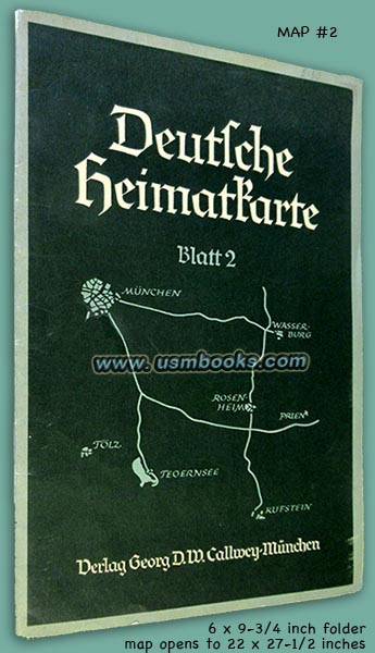
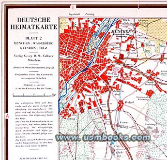
Deutsche Heimatkarte Blatt 2 is the second of four highly detailed tourist map books produced by Verlag Georg D.W. Callwey of Munich in 1938. It was produced in cooperation with Ford of Köln, Agfa of Berlin, and the Leuna gasoline company, also of Berlin. The original 6 x 9-½ inch green folder contains the original detailed tourist map and its accompanying 28-page publication of tourist information on all that is worthwhile to see in the part of Bavaria to the south and east of Munich.
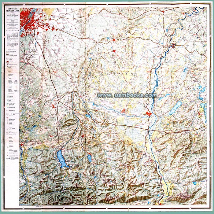
That map and information includes most of München, die Hauptstadt der Bewegung (Munich, the Capital of the Nazi Movement), Bad Tölz, Bad Wiessee, Rosenheim, Bayrisch Zell, Wasserburg on the Inn, Prien on the Chiemsee and Kuftsein in the Alps.
That map and information includes most of München, die Hauptstadt der Bewegung (Munich, the Capital of the Nazi Movement), Bad Tölz, Bad Wiessee, Rosenheim, Bayrisch Zell, Wasserburg on the Inn, Prien on the Chiemsee and Kuftsein in the Alps.
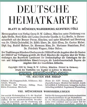
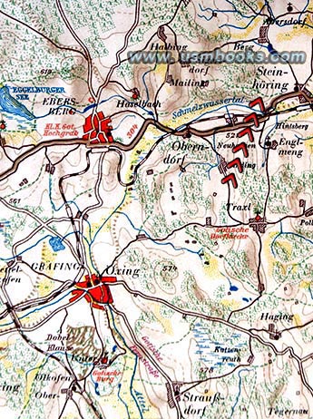
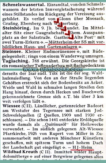
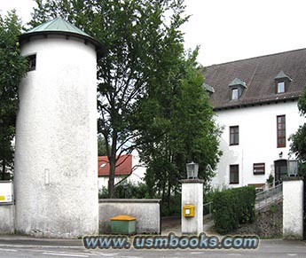
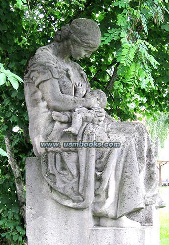
While the small town of Steinhöring east of Munich is on this map, Lebensbornheim "Hochland" der SS, the first Nazi Lebensborn welfare home for unmarried Aryan mothers (where 1409 babies were born during the Third Reich), is not marked with a red swastika on this map! The Mütterheim der SS is mentioned in the tourist information / historic things to see text (see image above). The "exemplary house and garden" are mentioned. We add two reference photos (left & below) of what the SS Home for Unwed Mothers looks like today, and the Third Reich statue of a nursing mother that is still in the garden.
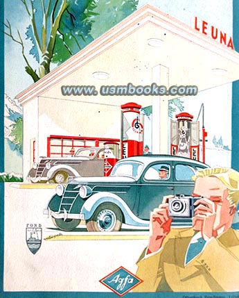
Inside the back cover is a map of the area showing the towns with LEUNA gas stations and the back cover has a very fine and campy color Agfa ad (shown left) showing a man taking pictures using a camera loaded with Agfa film, a LEUNA gas station, and a Ford car, built at the Ford factory on the Rhine River at the Cologne suburb of Deutz.
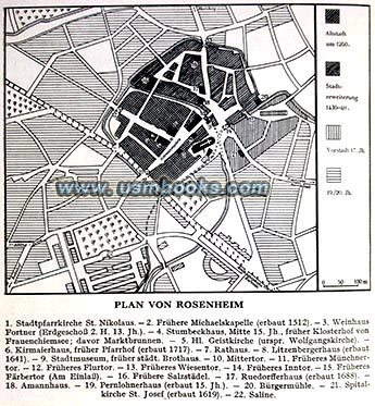
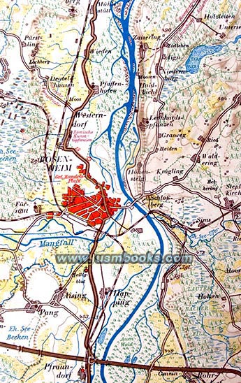
The 22 x 27-1/2 inch, two-sided color map has a scale of 1:300,000 meaning every 3 centimeters equals 1 kilometer (or 6/10th of a mile). The detailed map has roads, railways, churches, Nazi Party buildings, monuments, forests, mines, Roman roads, lakes, etc. The back side of the map has additional tourist information.
For Third Reich collectors and historians, this 87 year old Deutsche Heimatkarte Blatt 2 covers a very desirable part of Germany in wonderful detail! Not a common road map at all.
Complete and in very good, used condition. A few folds of the map are torn but there is no tape.
There is tourist information for summer and winter - towns with beaches and swimming pools, lake hotels, tennis or ice skating facilities, ski lifts, historic churches, castles, zoos and buildings of the NSDAP, a section with information supplied by the Traditionsgau München-Oberbayern der NSDAP.
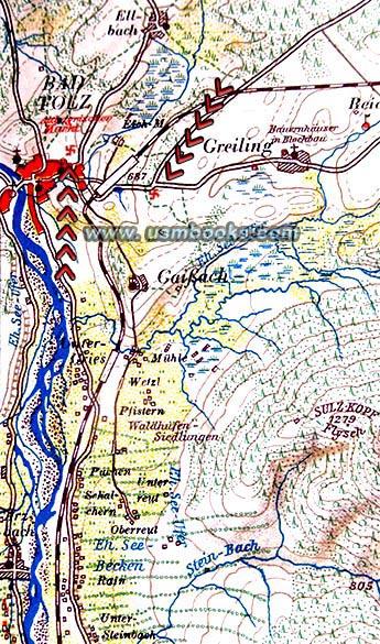
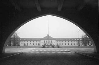
The Bauten der NSDAP, or Nazi Party facilities are marked with swastikas on the fold-out map. The SS-Junkerschule at Bad Tölz is (reference photo above) marked with a red swastika, as are HJ and SA Schools, Hitler Youth homes, and youth hostels.
Have a look at other original Nazi military and civilian maps and
Third Reich travel material for sale on USMBOOKS.com. We are
happy
to combine shipping to combine multiple purchases!
delivered by 1st Class Mail in the continental USA. |
| • IF you prefer faster and safer Priority Mail shipping with USPS Tracking add $9.00. |
| • IF you wish to purchase highly recommended, but optional insurance, add $3.50. |
| • We will be happy to ship abroad at additional cost, however foreign customers are responsible for any VAT payments, import duties and clearing fees. Please inquire. |
1938 NAZI MAP, TOURIST INFORMATION MUNICH, BAD TÖLZ,
ROSENHEIM, KUFSTEIN, SOUTHERN BAVARIA
DEUTSCHE HEIMATKARTE BLATT 2
DETAILED MAP NUMBER 2 AND TOURIST INFORMATION FOR SOUTHERN BAVARIA & MUNICH

