 |
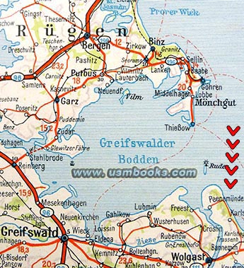 |
where the V-1 and V-2 rockets were developed and tested. |
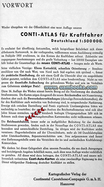
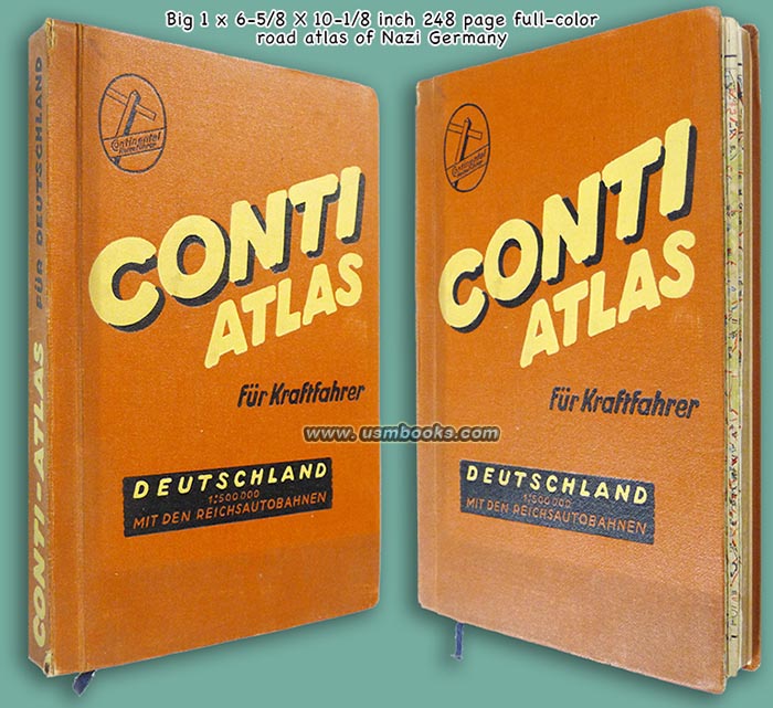
A GENUINE THIRD REICH COLOR MAP BOOK FOR MOTORISTS PRODUCED BY CONTINENTAL CIRCA 1937 |
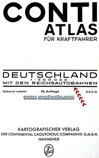
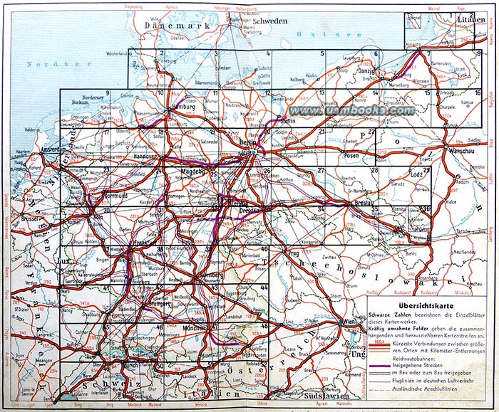
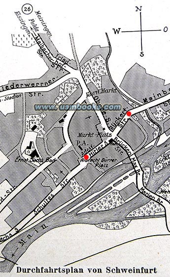
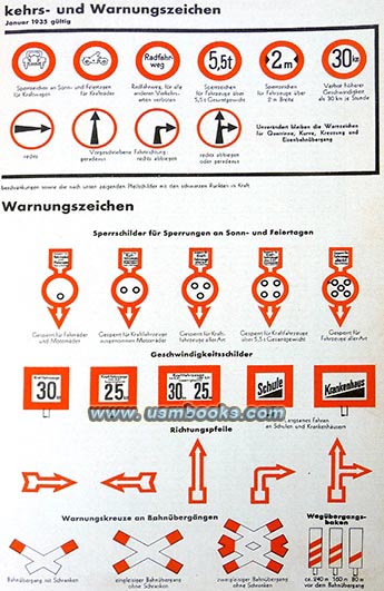
| Conti Atlas für Kraftfahrer is a fine color map book of Germany for motorists, published by Continental Caoutchouc-Compagnie (Tire Company) G.m.b.H. of Hannover. This is a 16th edition, undated but probably from 1937, with 144 pages and 52 fold-out color maps of Nazi Germany, from its western border with Holland, Luxembourg and eastern France to Warsaw in the east (Ostgebiete), Denmark and southern Sweden in the north, and Switzerland and northern Italy in the south. The atlas also contains 140 maps of the downtown area of larger cities in Nazi Germany. The wonderful, large 1:500,000 scale (1 centimeter = 5 kilometers) of the maps in this Nazi atlas makes the color maps very detailed, showing highways, railroads, hiking paths, castles, churches, airports, canals, forests, the Reichsautobahn (finished stretches as well as parts that are still under construction or planned), borders and former borders (pre-World War I). There is a double-page spread with German and international traffic signs in color. |
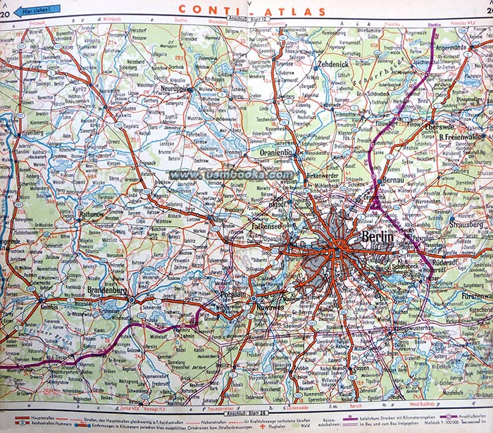

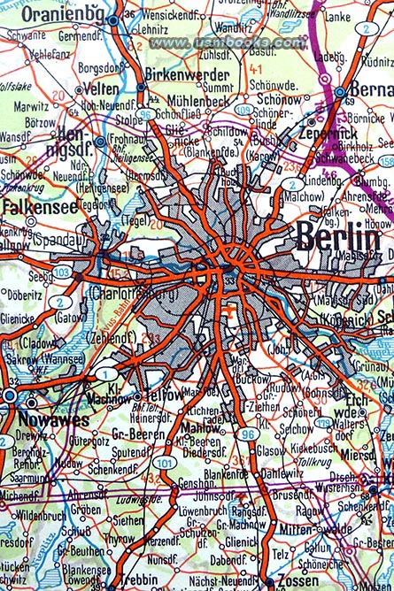
Left, a close-up of the area around Berlin. Note Oranienburg in the upper left corner (site of one of the first concentration camps in Nazi Germany). At the bottom edge of this image is
the town of Zossen, the location of the Oberkommando der Wehrmacht, the Supreme Command of the Armed Forces, as well as the High Command of the German Army.
This 6-5/8 x 10-1/8 inch, 1-3/4 pound Nazi hardcover atlas for Adolf Hitler’s Germany also contains travel related advertising by hotels, restaurants, banks, insurance companies, car battery producers, car dealerships (including Ford, Chevrolet, Chrysler and of course German cars like Mercedes-Benz, Audi and Opel).
This 85+ year old example of the Conti Atlas für Kraftfahrer is in very nice used condition. The color maps are not faded but the original owner did not fold them up very carefully after use, so some of the edges stick out a little bit! With original page marker sibbon, no odor. Inside the front cover is the label of the store in Neuhaldensleben outside of Magdeburg which sold this atlas during the Third Reich.
This 85+ year old example of the Conti Atlas für Kraftfahrer is in very nice used condition. The color maps are not faded but the original owner did not fold them up very carefully after use, so some of the edges stick out a little bit! With original page marker sibbon, no odor. Inside the front cover is the label of the store in Neuhaldensleben outside of Magdeburg which sold this atlas during the Third Reich.
Have a look at other Third Reich maps and travel collectibles for sale on USMBOOKS.com. We are happy to combine shipping to save you money!
$195.00 delivered by Media Mail in the continental USA. USM book #978 |
| • IF you prefer faster and safer Priority Mail shipping with USPS Tracking add $9.95. |
| • IF you wish to purchase highly recommended, but optional insurance, add $3.50. |
| • We will be happy to ship abroad at additional cost, however foreign customers are responsible for any VAT payments, import duties & customs clearing fees. Please inquire. |
COLORFUL NAZI MAP BOOK GERMANY CONTI ATLAS FÜR KRAFTFAHRER
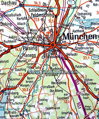 |
of Allach and Dachau |
 |

